Tuesday, March 25, 2014

Santa Anita Canyon #1- Arcadia, CA

So... this canyon is beautiful, but the trails are a bit confusing.  We came late, and had a little trouble figuring out where to go.  

So we parked in Chantry Flats, and then made our way up the Picnic area to check out a map.  
Check here for a map: http://adamspackstation.com/maps-trails-camps/maps/


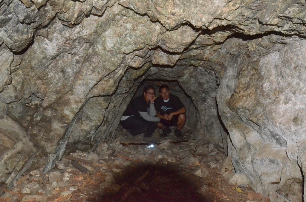
There was a lot to see and do on this trail, and I cannot wait to go back.  These dam like things, cement remains, cabins, and campsites are scattered throughout the wilderness.  


We came around with only 5 miles on our pedometers, so we detoured and added the trail to check out Sturdevant Falls


Like I mentioned, there was so much to see and do... and these people were just awesome, that we had so many random adventures in this hike.  :)

Some of these adventures... ya, just wandering.


Saturday, March 15, 2014

Bridge to Nowhere 03-15-14


Did the Bridge to Nowhere Hike, for the 3rd time!


This is the technical name of the trail- East Fork Trail, located in the Sheep Mountain Wilderness, above Azusa, CA.

Trail info: http://www.hikespeak.com/trails/bridge-to-nowhere-hike-los-angeles/


Creative crossings.... five one way, five back, this time... it changes it seems.  
Your shoes will get wet though, that is a definite. 


About 2~2.5 miles in.


These damn things are everywhere and they hurt!  Make sure to wear long pants.  


This time I took 25-30 pounds on my back.  30 to start, carrying extra water and food, but it went down as the day went on.  I have to figure out how not to get so bruised on my shoulders....  Or maybe that is just something you have to suck up and deal with.


Owwww....


This time also, I balanced well on all of the rocks.  Amazing!  I jumped from rock to rock on the stream, barely getting my feet wet.  Slacklining and practice really does help with balance... so does confidence.  

Sunday, February 9, 2014

Mt. Baden-Powell

Mt. Baden-Powell
9,406 ft elevation
8-ish miles


Guide: http://www.modernhiker.com/2009/06/18/hiking-mount-baden-powell/


On our way up we passed police search and rescue helping two guys over a railing and talking to them.  When we got to Vincent's Gap, there were search and rescue police with two other guys, and when we pulled up, they told us they were looking for lost hikers.  A moment later the police that we had passed pulled up behind us and reunited the group.  We heard them tell their story, about how scared they were, got off path, etc.  Turned out the dudes got high and decided to go on a hike, totally unprepared.  They ended up getting lost and spending a night in the cold.

Lessons:
1. Don't smoke pot and then go hiking people.
2. Come prepared
3. Tell someone where you are going
4. Don't go off trail
5. If you get lost stay in one spot- don't wonder


 At the top


A scary part... the icy ground was very slippery... It's very straightforward and deceptive at the same time.  


* Winter closure of Angeles Crest may make things difficult.  Check out directions here: http://california.hometownlocator.com/maps/distance-directions2.cfm?vincent%20gap@34.3736113,-117.7522817

Friday, January 10, 2014

Devil's Punchbowl- Pearblossom, CA


Here we go again, hiking into the middle of nowhere. 

Got some equipment this time.  


Devil's Punch Bowl, Pearblossom, CA

We did 13.2 miles in total.  

Official Site: http://www.devils-punchbowl.com/

I would recommend going here and printing up a map.  The official trail goes on for 20+ miles, so you want to be careful and watch your mileage if you continue on the trail.  There is also a smaller loop, down in the canyon, that is about a mile long, starting right past the main center and bathrooms.  

Hiking Guide: http://www.modernhiker.com/2007/12/12/hiking-the-devils-chair/


4 miles in- The Devil's Chair

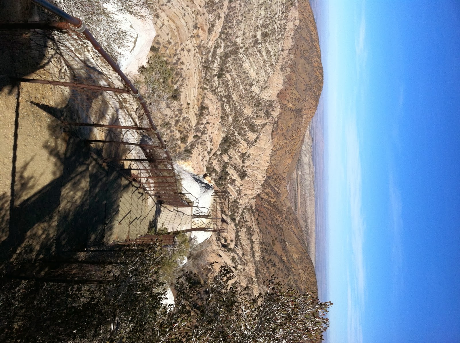
And the view from there. 


This is such a beautiful place!

There was an amazing moment, when we were 6.5 miles into the canyon, 2.5 past the Devil's Chair, and we heard, what we thought was wind swooshing through the canyon.  A few minutes later it got louder, and then deafening.  We stopped to see what was going on, and then a fighter jet came flying low, right above us.  The echo of the jet in the canyon, the breaking of complete silence, and the fact that we don't often see these jets, except for on special events, made it an awe inspiring moment.  


Falling scares me, and my legs are short, but I made it up a boulder... finally!


The whole entire loop, past the chair and all, is 20+ miles so watch your mileage an take a trail map we went 6.5/7 miles in to te other side of the canyon and then back

Tuesday, December 31, 2013

Turnbull Canyon- Whittier, CA

Turnbull Canyon Hike, Whittier, CA

The last hike of the 2013 year, and a great hike to close out with the first person I hiked with this year. 

5 Miles


Monday, December 30, 2013

Hike to the Hollywood Sign

Finally made it to the Hollywood Sign!  ...but was not able to touch it... It is surrounded by a large fence and lots of surveillance.

It is a short hike, maybe 3-4 miles, with lots of visitors.  It was funny seeing some trying to walk up the path in designer shoes, and/or heels.

Info to get to the sign: http://hollywoodsigntrip.com/